Avery Schmitt · 5 September 2026
Tracing Feldmoos Moss Trails Reveals Ecological and Cultural Evolution
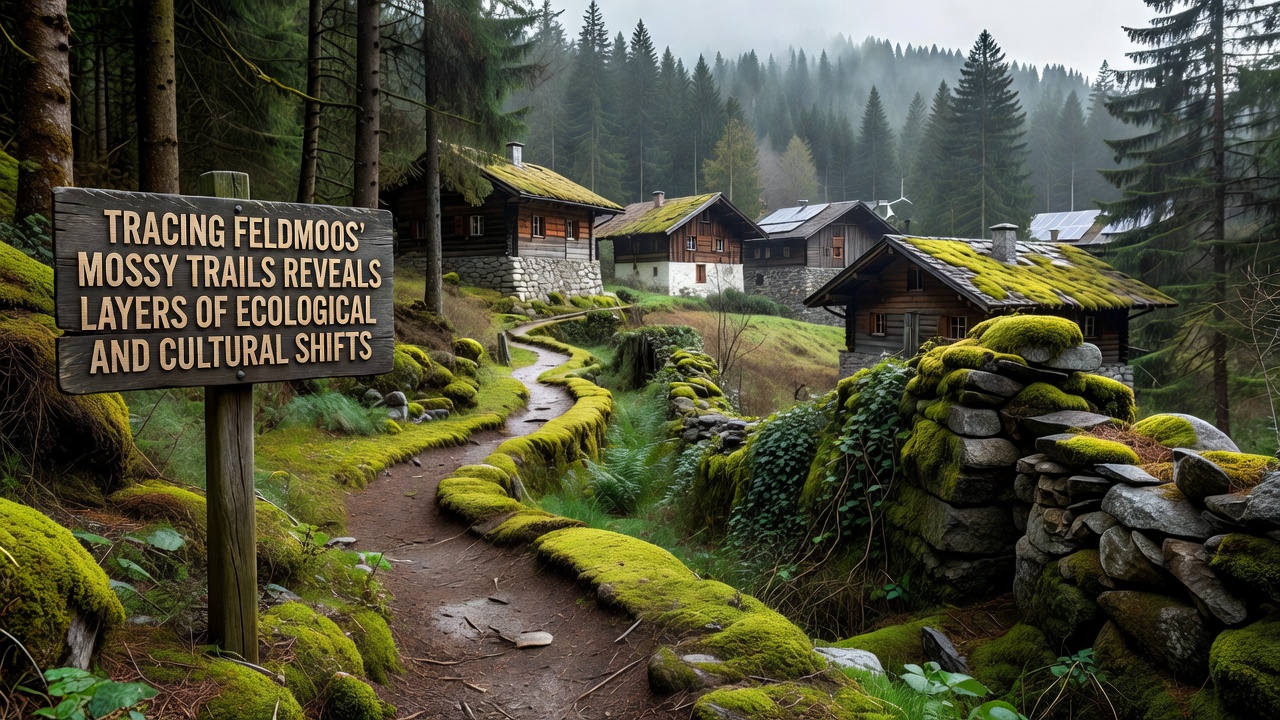
Researchers have mapped the moss trails across Feldmoos for decades and the paths continue to show clear markers of both environmental changes and shifts in human land use patterns over time, while field data collected through systematic surveys reveals how these trails function as natural archives that record temperature variations, moisture levels, and historical settlement activities in one continuous record.
Ecological Patterns Documented Along the Trails
Botanists track moss species distribution along these routes and they note distinct zones where certain bryophytes dominate because soil composition and light exposure have altered over successive decades, and measurements taken at regular intervals demonstrate how increased nitrogen deposition from nearby agricultural zones correlates with the spread of specific moss types that tolerate higher nutrient loads while less adaptable species retreat to sheltered microhabitats.
Data from long-term monitoring stations indicates that trail edges experience more rapid drying during summer months compared to interior sections, and this gradient creates visible boundaries that researchers use to quantify the impact of changing precipitation regimes on local flora, and studies conducted in partnership with European institutions have documented corresponding declines in associated insect populations that rely on consistently moist conditions.
Cultural Traces Preserved in the Landscape
Historians examining the same trails find evidence of old footpaths and boundary markers that local communities established generations ago, and these features remain visible because moss growth patterns respect the compacted soil lines left by repeated human passage, while oral histories collected from residents describe how seasonal migrations for grazing and gathering shaped trail networks that still guide current access routes through the area.
Archaeological surveys along the moss-covered corridors have uncovered tool fragments and hearth sites dating back several centuries, and these discoveries align with documented shifts in land ownership records that show transitions from communal grazing to more restricted agricultural plots, and the spatial arrangement of these cultural remnants provides context for understanding how economic pressures influenced vegetation management practices in the region.
Integrated Findings from Recent Fieldwork
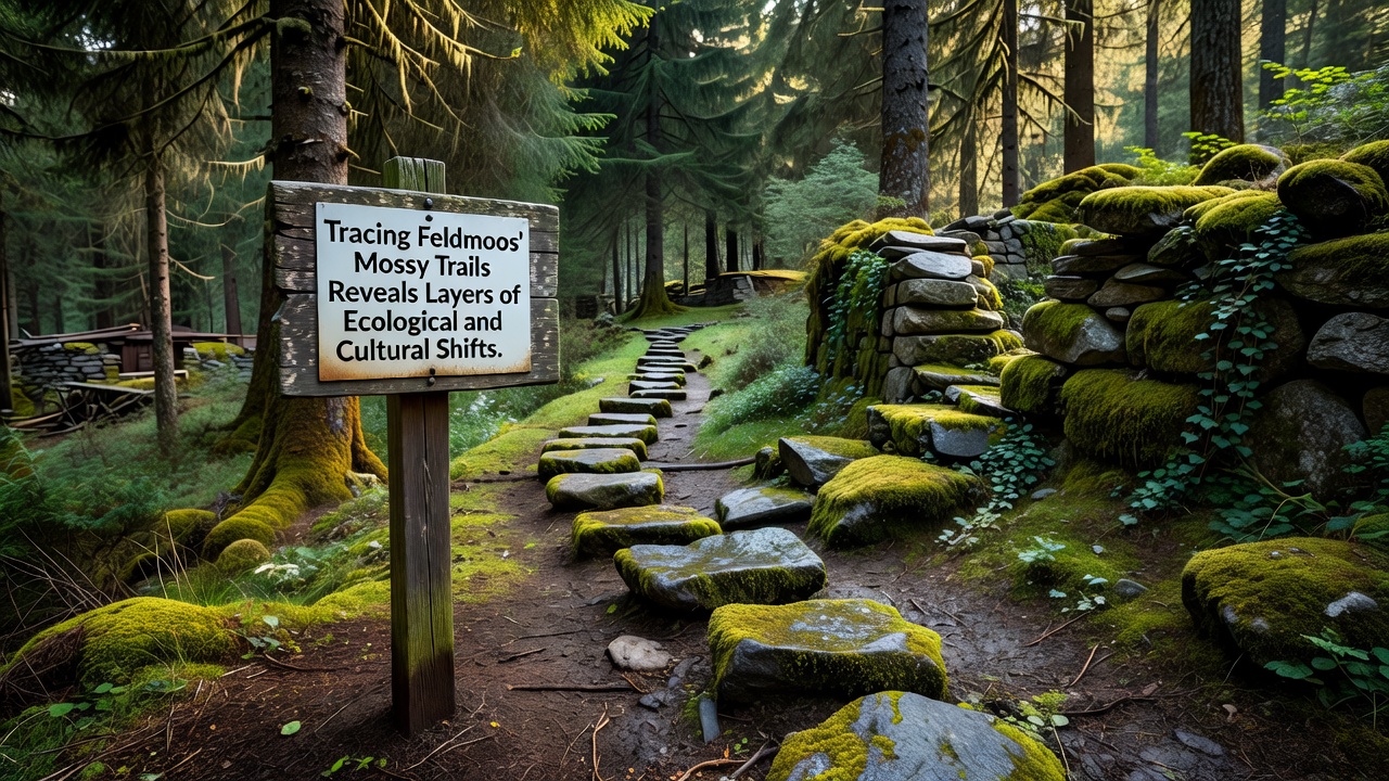
Teams that combined ecological sampling with historical mapping in 2025 produced layered datasets showing how trail segments with heavier past human traffic now support different moss communities than less disturbed sections, and this correlation allows analysts to separate natural succession processes from those accelerated by land use changes, while ongoing work scheduled for September 2026 aims to expand the dataset with drone-based imaging that captures finer variations in canopy cover along the full network of paths.
Reports from the European Environment Agency supply regional benchmarks against which Feldmoos observations can be compared, and researchers cross-reference these benchmarks with findings from North American wetland studies to identify broader patterns in moss response to similar climatic pressures, and the combined records indicate that recovery rates after disturbance events vary significantly depending on trail slope and underlying substrate type.
Methods Used to Read the Trail Layers
Scientists employ core sampling techniques that extract vertical sections of moss and underlying peat, and laboratory analysis of these cores yields chronological data through carbon dating and pollen counts that match known historical events such as changes in local forestry practices or the introduction of new grazing animals, and this approach turns the trails into readable timelines without requiring invasive excavation across wide areas.
GPS mapping combined with species inventories creates digital overlays that highlight where ecological boundaries coincide with cultural features, and software tools allow multiple researchers to update the same dataset as new observations arrive, and the resulting models help predict how future alterations in temperature or visitor patterns might reshape trail visibility and composition over the next several decades.
Conclusion
Continued tracing of Feldmoos moss trails supplies measurable records of ecological adaptation alongside preserved evidence of cultural land use, and the integration of these datasets supports more accurate forecasts for habitat management while preserving the historical context embedded in the landscape itself, and further fieldwork planned through 2026 will add resolution to these layered interpretations.