Jordan Jenkins · 31 October 2026
Feldmoos's Trail Networks and Bird Sightings Fuel Fresh Approaches to Regional Land Records
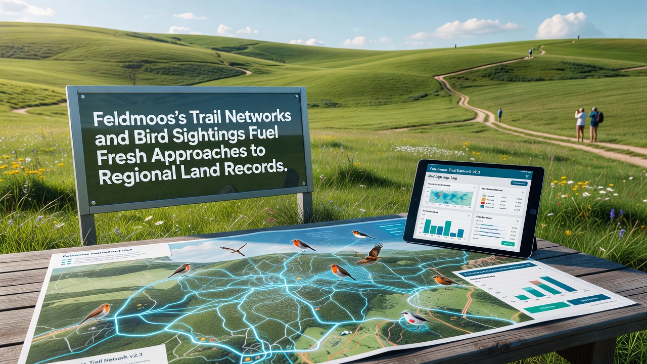
Trail networks across the Feldmoos wetlands have expanded steadily since the early 2020s, and local authorities now integrate those paths with detailed bird sighting records to refine how regional land documents get updated and maintained. Data from trail usage logs show thousands of annual visitors follow marked routes that cross sensitive moss beds and open meadows, while ornithological surveys document over 120 species nesting or migrating through the same zones each year.
Trail Infrastructure and Mapping Updates
Engineers completed new segments of the central trail loop in 2025, connecting previously isolated observation points with boardwalks that reduce soil compaction, and these additions prompted the regional cadastre office to revise boundary lines on official maps. GPS coordinates collected along the paths feed directly into digital land records, allowing surveyors to adjust wetland demarcations with greater precision than older paper-based systems permitted. Residents in surrounding communities access these updated files through an online portal that went live in spring 2026, and usage statistics indicate steady downloads of revised parcel descriptions during the first six months.
Bird Sightings as Indicators for Land Documentation
Volunteer observers submit weekly bird counts to a shared database maintained by the local nature society, and analysts cross-reference those counts with trail proximity data to identify zones where human activity overlaps breeding areas. In October 2026 the database recorded peak sightings of migratory waterfowl coinciding with trail maintenance schedules, prompting officials to insert temporary access restrictions into the land registry notes for affected parcels. Such annotations help future planners avoid scheduling work during sensitive periods without requiring entirely new surveys each season.
Integration of Data Sources into Regional Records
Land record systems in the Feldmoos district now pull automated feeds from both trail counters and bird observation apps, creating layered entries that combine physical infrastructure details with ecological observations. One study from the European Environment Agency examined similar wetland mapping projects and found that combining visitor path data with species distribution layers improved boundary accuracy by measurable percentages across multiple test sites. Officials here adapted those methods by adding fields for seasonal sighting density directly into parcel descriptions, which allows quick queries when new development proposals arrive.
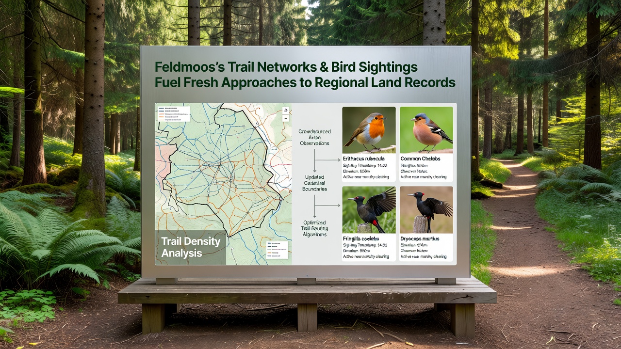
Community groups contributed historical photographs and oral accounts of trail locations that predate formal records, and archivists incorporated selected images into the supplementary materials attached to current land entries. These additions provide context for why certain paths curve around former drainage ditches, and they help explain shifts in wetland extent noted in 19th-century surveys. The combined dataset now serves as a reference when neighboring municipalities request shared boundary clarifications.
Practical Applications in October 2026
By October 2026 the updated records supported several decisions on easement adjustments where trail segments crossed private holdings, and the inclusion of bird sighting heat maps helped justify rerouting options that minimized disturbance. Survey teams used the new digital layers to produce field maps that highlighted both trail maintenance needs and protected observation zones on single documents. Training sessions for local administrators emphasized how to query the combined datasets, resulting in faster turnaround times for record amendment requests compared with previous years.
External partners, including researchers from Canadian universities studying peatland management, reviewed the Feldmoos approach and noted parallels with their own efforts to link recreational infrastructure data with avian monitoring results. Those exchanges led to minor refinements in how sighting frequency gets weighted within the registry fields, though the core structure remains tailored to regional requirements.
Conclusion
The ongoing fusion of trail network details and bird sighting information continues to shape how land records evolve in the Feldmoos area, producing documents that reflect both human use patterns and ecological conditions. Regular updates to the system accommodate new observations and path modifications, ensuring the registry stays aligned with on-the-ground realities. This method provides a template that other wetland districts examine when considering similar data integration strategies.