Jordan Jenkins · 3 October 2026
Feldmoos Residents Turn to Local Records for Clues on Managing Wetland Boundaries
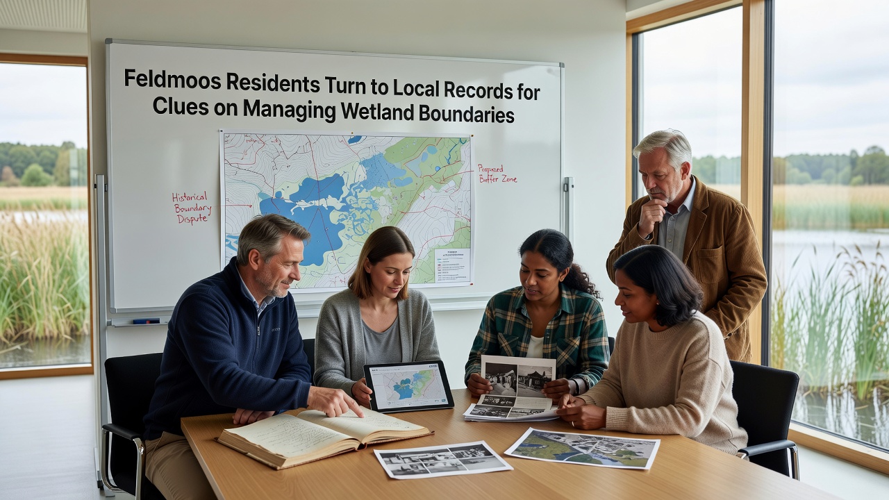
Residents in Feldmoos have begun examining archival property deeds, 19th-century survey maps, and municipal boundary ledgers to clarify wetland edges that separate protected zones from agricultural plots. These documents, stored in regional archives and local government offices, contain precise measurements recorded during earlier land divisions, and they help define limits where moss beds meet drier fields. Data from these sources show consistent references to water levels and vegetation lines that predate modern development pressures.
Archival Sources Guide Boundary Clarification
Local historians and cartographers have cataloged records dating back to the 1800s, and these materials list coordinates tied to natural landmarks such as old drainage ditches and stone markers. When cross-referenced with current GPS data, the older entries reveal shifts of several meters in some wetland perimeters since the mid-20th century. Community groups organize monthly review sessions where volunteers transcribe handwritten notations and compare them against aerial photographs taken in the 1970s. One study released by the Swiss Federal Office for the Environment outlines similar archival methods used across alpine regions, and it notes that such records reduce disputes over land classification.
October 2026 marks the start of a new municipal ordinance that requires updated boundary documentation before any construction permits are issued near wetland areas. Feldmoos officials have scheduled public workshops to train residents on reading faded ink entries and interpreting scale bars from period maps. Attendance at these sessions has drawn participants from neighboring villages who face comparable boundary questions.
Practical Applications in Land Management
Farmers use the compiled data to adjust fencing and irrigation channels so they stay outside protected zones, while conservation teams mark seasonal flooding lines that match descriptions in the old ledgers. Records indicate that certain moss-dominated parcels were designated as common grazing land until the 1930s, after which drainage projects altered their extent. By aligning historical notes with soil core samples, researchers have identified layers of organic material that correspond to documented boundary changes.
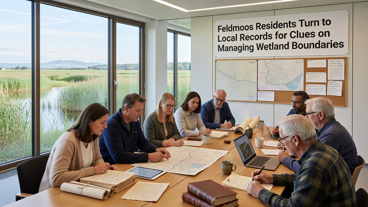
Legal teams handling inheritance cases now request copies of these archives to settle questions about parcel divisions that cross wetland margins. The process involves scanning fragile pages and entering coordinates into digital databases that overlay modern satellite imagery. Figures from the European Environment Agency demonstrate that communities employing combined historical and contemporary data achieve higher accuracy in wetland delineation than those relying solely on recent surveys.
Collaborative Efforts and Data Sharing
Schools in the area have incorporated boundary-mapping exercises into geography classes, and students compare 1892 tax rolls against present-day vegetation surveys. Partnerships with university geography departments supply technical support for digitizing fragile documents, and the resulting datasets are shared through an open-access portal maintained by the regional planning office. Observers note that participation rates in these projects have risen steadily since the first archive review began three years ago.
Additional records from neighboring cantons provide comparative examples of how similar wetland boundaries were resolved in the 1960s, and these cases supply templates for drafting local agreements. The approach avoids litigation by establishing shared reference points that both landowners and environmental agencies accept.
Conclusion
Continued access to preserved documents supports ongoing boundary management in Feldmoos, and integration with digital tools allows real-time updates as new measurements become available. Residents maintain the practice of consulting primary sources before proposing changes to land use near the wetlands, ensuring that decisions rest on documented evidence rather than assumptions. This method has produced measurable consistency in how boundaries are recorded and respected across the community.