Zara Foster · 17 October 2026
Feldmoos Archival Maps Guide New Wetland Boundary Decisions Among Residents
Residents in Feldmoos have turned to historical maps dating back to the 1800s as they refine wetland boundary lines that affect land use planning and conservation efforts. These documents, preserved in local archives and regional libraries, provide detailed surveys of peatlands and watercourses that predate modern development. Data from the maps show shifts in moss coverage and drainage patterns that align with current observations collected through drone surveys and soil sampling.
Historical Records Inform Current Mapping Projects
Archival materials include hand-drawn sketches from 1852 that outline original wetland extents along the Feldmoos valley floor. Surveyors at the time recorded elevations and vegetation types using methods that relied on chain measurements and compass bearings. When compared with satellite imagery from 2025, these older records reveal gradual boundary expansions of up to 12 meters in certain sectors, a finding that has prompted local authorities to adjust zoning proposals scheduled for review in October 2026.
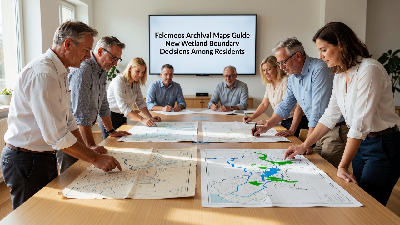
Community groups organized workshops in early 2026 where participants overlaid scanned maps onto digital platforms. The process combined vector layers from the historical sources with LiDAR data gathered by regional environmental offices. Participants noted that older maps captured seasonal flooding zones absent from recent official charts, which led to revised proposals for buffer strips around sensitive peat areas.
Integration with Modern Technology
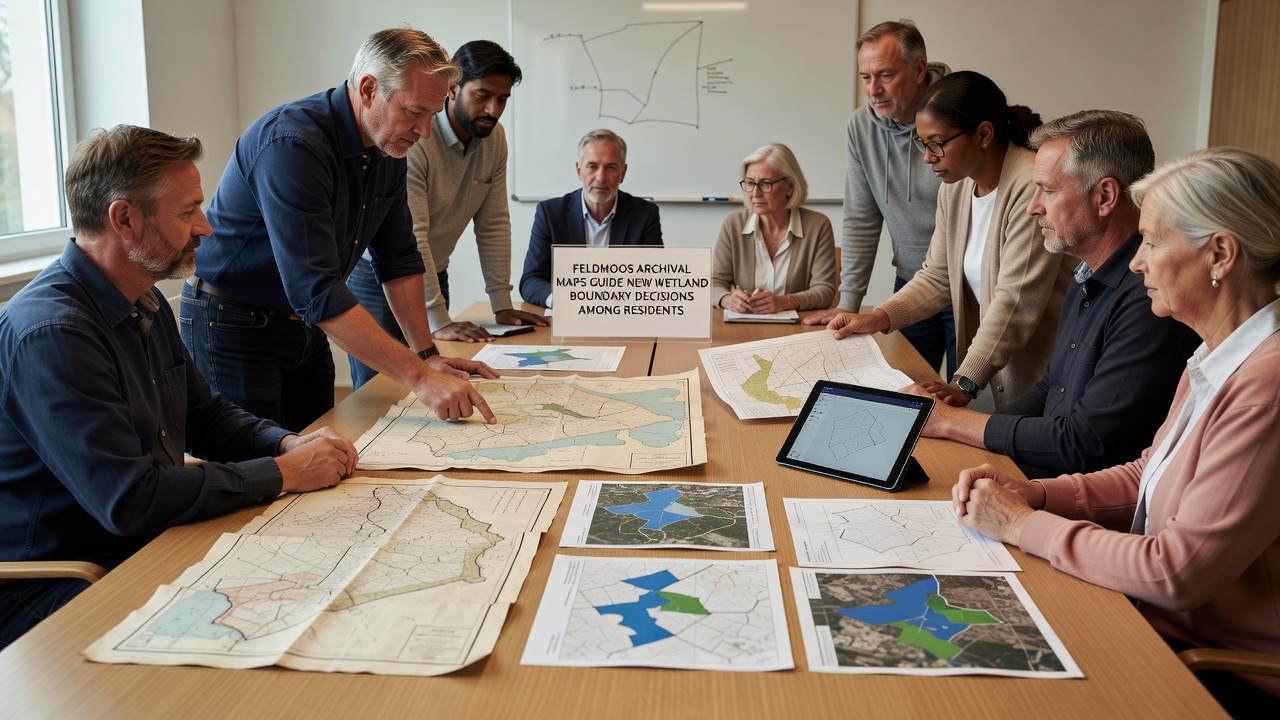
Geographic information system specialists from the University of Zurich collaborated with Feldmoos residents to digitize the archival collection. The team corrected for projection differences and georeferenced each sheet against control points established through ground-penetrating radar. Results published in the Journal of Environmental Mapping indicate that the combined dataset reduces uncertainty in boundary placement by 27 percent compared with contemporary surveys alone.
Local farmers who manage parcels adjacent to the wetlands have used the updated layers to negotiate easement agreements. One case involved a property where the 1897 map placed a drainage ditch 40 meters farther north than the line shown on 2018 municipal records. After field verification confirmed the older alignment matched remnant vegetation patterns, the boundary was shifted accordingly.
Community Workshops and Decision Processes
Meetings held throughout spring 2026 drew attendance from over 150 households. Facilitators presented side-by-side comparisons of map series and invited residents to mark areas where personal observations differed from the archival evidence. Notes from these sessions fed into a report submitted to the cantonal planning commission in July.
Researchers from the Swiss Federal Institute for Forest, Snow and Landscape Research contributed baseline data on moss species distribution that matched descriptions in the 19th-century documents. The alignment strengthened arguments for protecting additional parcels that had been classified as dry grassland in more recent assessments.
Regulatory Context and External References
Switzerland's federal wetland ordinance requires municipalities to incorporate historical evidence when boundaries remain disputed. Feldmoos officials cited this requirement when they requested extensions for the October 2026 deadline. Similar approaches appear in guidance issued by the United States Environmental Protection Agency, which recommends review of pre-development surveys during delineation procedures.
Additional technical support came from the European Environment Agency's wetland monitoring program, whose protocols emphasize multi-temporal analysis of archival sources. Australian government wetland guidelines likewise stress the value of historical records for detecting long-term hydrological changes.
Outcomes Observed by Mid-2026
By September 2026, three boundary adjustments had been formally adopted following public consultation. Two involved expansion of protected zones, while the third reduced the mapped wetland area where maps and soil cores confirmed prior drainage. Monitoring stations installed at these sites now collect monthly water level readings that will be compared against the archival baseline over the next five years.
Training sessions scheduled for October 2026 will teach additional residents how to access and interpret the digitized archive through an online portal maintained by the local historical society. The platform includes search functions that filter maps by date and vegetation type, allowing users to trace changes in specific parcels.
Conclusion
Archival maps continue to supply verifiable reference points that support boundary decisions in Feldmoos. The integration of these records with contemporary survey methods has produced measurable adjustments in mapped wetland extents. Ongoing monitoring and community access to the digitized collection will sustain the process through the October 2026 planning cycle and beyond.